wm / map-multi-linestring
A Laravel Nova field.
Installs: 4 476
Dependents: 0
Suggesters: 0
Security: 0
Stars: 0
Watchers: 2
Forks: 2
Open Issues: 0
Language:Vue
pkg:composer/wm/map-multi-linestring
Requires
- php: ^7.3|^8.0
This package is auto-updated.
Last update: 2026-01-21 13:23:47 UTC
README
Requirements
php: ^8laravel/nova: ^4
Installation
You can install the package in to a Laravel app that uses Nova via composer:
composer require wm/map-multi-linestring
Develop
create anova-components folder in the root of the project where you want to develop.
Clone map-multi-linestring inside.
add in "repositories" array attribute of composer.json
        {
            "type": "path",
            "url": "./nova-components/map-multi-linestring"
        }
modify in "requires" object attribute of composer.json
"wm/map-multi-linestring": "*",
in the first time
launch inside the repository hosting the field
cd vendor/laravel/nova && npm install
we need modify composer.lock launch
composer update wm/map-multi-linestring
launch inside field
npm install
Usage
Map Multi Linestring
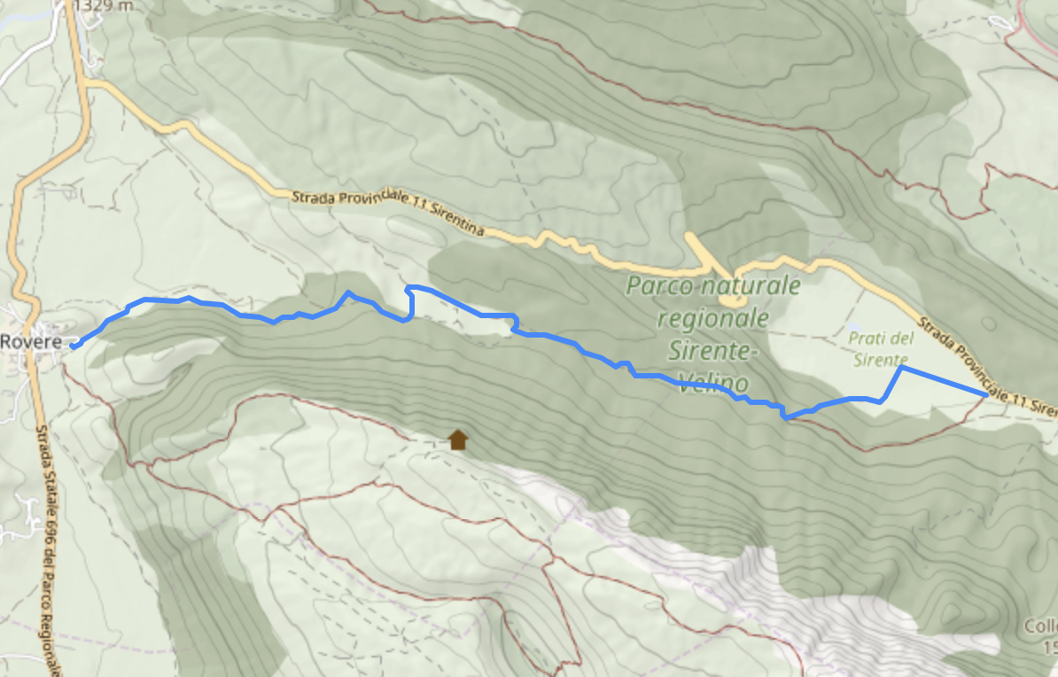
You can display a post gist geography(MultiLineString,4326) area on the map and change it by uploading a new MultiLineString file (.GPX, .KML, .GEOJSON). To use the Map Multi Linestring feature, include the MapMultiLinestring class and add it to your resource's fields. Customize the map settings by providing metadata such as the initial map center, tile server URL, attribution text, minimum and maximum zoom levels, default zoom level, GraphHopper API URL used to specify the URL of the GraphHopper API, and GraphHopper routing profile used by GraphHopper when calculating the route. Routing profiles determine the type of transportation mode and the set of rules that the routing engine will use. The default value for this field is 'foot', which means the routing will be optimized for walking. Other available profiles include 'bike' and 'hike'.
    use Wm\MapMultiLinestring\MapMultiLinestring;
    /**
     * Get the fields displayed by the resource.
     *
     * @param  \Laravel\Nova\Http\Requests\NovaRequest  $request
     * @return array
     */
    public function fields(NovaRequest $request)
    {
        return [
            ID::make()->sortable(),
                ...
            MapMultiLinestring::make('geometry')->withMeta([
                'center' => [42, 10],
                'attribution' => '<a href="https://webmapp.it/">Webmapp</a> contributors',
                'tiles' => 'https://api.webmapp.it/tiles/{z}/{x}/{y}.png',
                'minZoom' => 5,
                'maxZoom' => 17,
                'defaultZoom' => 10,
                'graphhopper_api' => 'https://graphhopper.webmapp.it/route',
                'graphhopper_profile' => 'hike'
            ]),
        ];
    }
Configuration
As of v1.4.0 it's possible to use a Tab class instead of an array to represent your tabs.
| Property | Type | Default | Description |
|---|---|---|---|
| center | array | [0,0] | The coordinates used to center the view of an empty map. |
| attribution | string | '<a href="https://www.openstreetmap.org/">OpenStreetMap</a> contributors, <a href="https://creativecommons.org/licenses/by-sa/2.0/">CC-BY-SA</a>, Imagery (c) <a href="https://www.mapbox.com/">Mapbox</a>' | The HTML content displayed as map attribution. |
| tiles | string | 'https://{s}.tile.openstreetmap.org/{z}/{x}/{y}.png' | The tile URL used for the map. |
| minZoom | integer | 1 | The minimum zoom level allowed on the map. |
| maxZoom | integer | 19 | The maximum zoom level allowed on the map. |
| defaultZoom | integer | 10 | The initial zoom level when the map is first displayed. |
| graphhoopper_api | string | undefined | The URL of the GraphHopper API used for routing requests. |
| graphhopper_profile | string | 'foot' | The routing profile used by GraphHopper for calculating the route. Default is optimized for walking. All available profiles: 'bike', 'foot', and 'hike'. |


